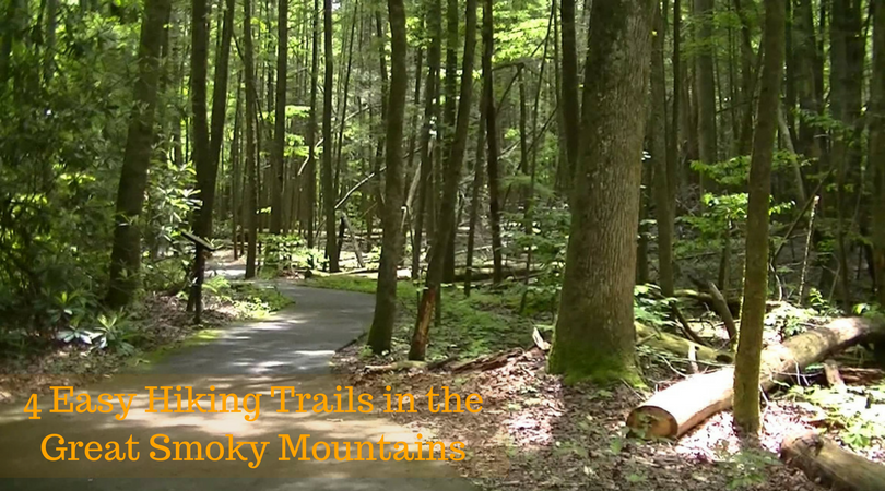
Whether your goal is to escape alone for a moments of solitude, to share a leisurely walk with a significant other, or to give your family a firsthand experience with the wonders of nature, you’ll find the Smoky Mountain area provides a number of trail options designed for those who enjoy hiking but aren’t necessarily looking for strenuous exercise. For your convenience, we’ve compiled 4 easy hiking trails to walk in the Smokies.

Metcalf Bottoms Trail
This level trail is only 0.7 miles by itself, but can be made longer by continuing from Metcalf Bottoms to Little Brier Gap Trail. Just minutes into the walk, trail hikers will see a small log school house. Anyone can explore inside, where the school still has original elements, including desks.
- Trail Features: History, Walker Sisters Place
- Trail Location: Metcalf Bottoms
- Roundtrip Length: 2.6 Miles
- Total Elevation Gain: 285 Feet
- Avg. Elev Gain / Mile: 219 Feet
- HighestElevation: 2062 Feet
- Trail Difficulty Rating: 3.17 (easy)
Sugarlands Valley Nature Trail
Sugarlands Valley Nature Trail is a 0.5 mile moderately trafficked loop trail located near Gatlinburg, Tennessee that features a waterfall and is good for all skill levels. The trail offers a number of activity options and is accessible year-round. This is a handicap and stroller accessible trail, so anyone can enjoy the sights and sounds of nature. Before taking a stroll on the trail, hikers can watch a short film about the park and view natural history exhibits.

Andrews Bald
Only 1.7 miles total, trail’s maximum elevation is 900 feet. Though the Andrews Bald trail includes rocks and small boulders, there are several acres of grassy meadows at the top, where trails in the Smokies get the “Bald” name. These meadows are wide open, giving hikers plenty of space to picnic or lay down a blanket and relax.
- Trail Features: Oustanding Views
- Trail Location: Clingmans Dome Area
- Roundtrip Length: 3.5 Miles
- Total Elevation Gain: 899 Feet
- Avg. Elev Gain / Mile: 514 Feet
- Highest Elevation: 6310 Feet
- Trail Difficulty Rating: 5.30 (moderate)
Porters Creek Trail
Hikers who want history and beauty in an easy hike will love the Porters Creek Trail. Totaling at 4.0 miles, this trail is one of the best places to see wildflowers in spring. Nearly a mile into the hike sits remnants of a farmstead, including cabins and barns that are still standing. Further in is Fern Branch Falls, a nearly 40 foot waterfall.
- Trail Features: Waterfall, History, Wildflowers, Stream
- Trail Location: Greenbrier
- Roundtrip Length: 4.0 Miles
- Total Elevation Gain: 699 Feet
- Avg. Elev Gain / Mile: 350 Feet
- Highest Elevation: 2642 Feet
- Trail Difficulty Rating: 5.4 (moderate)
What are your favorite beginner hiking trails in the Great Smoky Mountains National Park? Tell us in the comments below!
Via gatlinburgtnguide.com


